


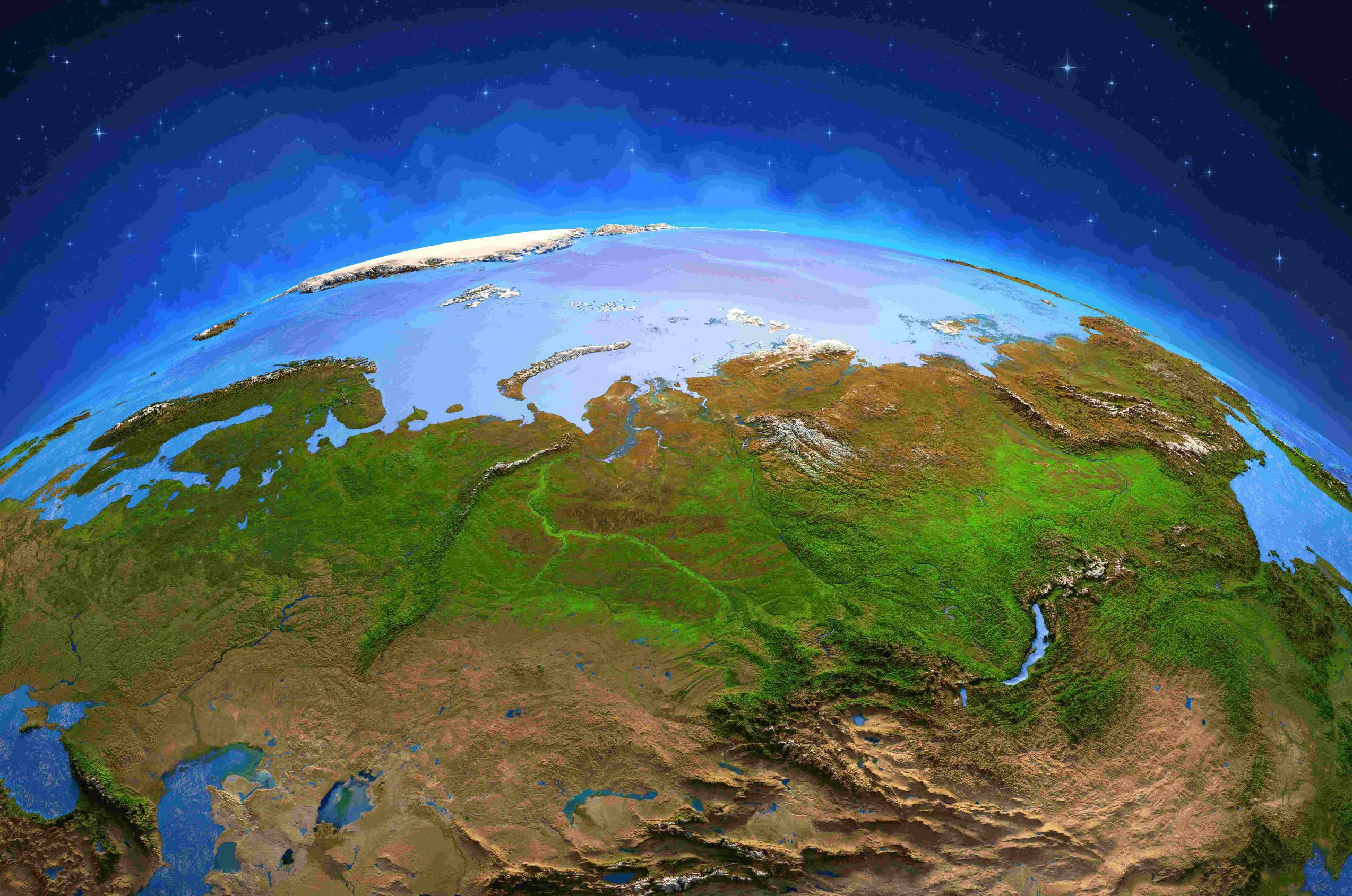
The cryosphere is the frozen water parts of the earth’s surface, comprising glaciers, ice caps, sea ice, and permafrost. “Except it’s not frozen anymore,” points out Professor Lin LIU, a cryosphere specialist from The Chinese University of Hong Kong (CUHK). “Glaciers are melting, sea ice is melting, everything is melting including the frozen ground. I want to measure this accurately.”

In the past 14 years, he has been leaving footprints in Canada, Alaska, Greenland, Iceland, Tibet and more where permafrost areas are present. He regards permafrost as a not-so-obvious victim of global warming compared to the more striking visual evidence, say for example sea level rise and melting glacier. The thawing of permafrost is harder to appreciate and observe. “A warming figure of 1.5℃ is not very apparent to the earth as a whole, but the cryosphere is very sensitive to climatic warming and began melting over the change from -1 to 0.5℃,” he continues.
Different geodetic technology has been in use to investigate the changes of the cryosphere in a warming climate; for example, InSAR, a radar remote sensing technology which Professor Liu was one of the first to pioneer in use on frozen ground movement when he studied his PhD in the University of Colorado. It is a tool that measures and monitors subtle ground surface movement in which satellites orbiting the earth will take images of same place every 12 days. It is, however, very challenging to use on the abrupt and deep thawing of permafrost, as this is widely distributed in vast and remote areas; and one has to spend days with the naked eye to check countless satellite images, observe their temporal changes, mark the lines of expansion and map exact slump locations on the field.
To overcome the difficulties involved in the labour-intensive field investigation and manual delineation on remote sensing images to obtain a fuller picture, Professor Liu has devised a revolutionary artificial intelligence (AI) tool called DeepThaw to solve one of the puzzles in understanding permafrost thawing situations, bringing the freshest and best methodology to bear on cryosphere study. The word ‘Deep’ is a pun, a mix of deep learning and the thaw in the planet which is also deep.
According to Professor Liu, DeepThaw can automatically map and analyse the thermokarst – the abrupt thawing of frozen ground landforms, which is of different kinds- and detect surface collapse and sinkholes from satellite images, essentially identifying their spatial distribution and impacts. The high spatial resolution can also map small slumps with an area as small as 0.3 hectare, with their boundaries accurately delineated. It marks a major contribution in the application of AI in geomorphology and geophysics.
Professor Liu and his team have to feed the algorithm with huge numbers of satellite images taken over the area so that it learns the features of the thermokarst process and measures the subtle deformations precisely, of which there can be many. The exercise is currently being conducted by the Cryosphere Geophysics Group over the Tibetan Plateau. “We wish to improve the algorithm with higher accuracy and comprehensiveness for rest of the permafrost areas around the globe. The investigation is complemented with the adoption of global satellite navigation systems to continuously monitor the permafrost thaw. There are hundreds of collapses there now and many are close to roads and even a railway. The consequences for infrastructure are considerable,” says Professor Liu.


DeepThaw saves time and increases accuracy and comprehensiveness but, in the end, validation is necessary too. Occasional trips to Tibet by the team or its partners outside Hong Kong have to be made to make sure that the positions of those collapses are consistent with the AI.


The harmful consequence of the deep sub-surface thawing is often neglected. Not only will the ground get cracked, the dark sinkhole caused by the long dormant and now revived bacteria in the ground will rot the soil and release potent greenhouse gases. This will intensify global warming and thawed permafrost more quickly. This is why Professor Liu wants to sound the alarm and address the seriousness with visual evidence made available by the convenience of AI. “I hope that with the more sophisticated AI technology being used, DeepThaw can provide important insights into the characteristics and impacts of thawing permafrost,” says Professor Liu.
It is important to put the crisis message across with comprehensive evidence by realising what is limited in previous technologies and develop cutting-edge technology like AI to complement their competences, like InSAR with DeepThaw, “It would be beautiful if they could work together, and it is my wish to make it easier to communicate the suffering of the cryosphere to the general public,” enthuses Professor Liu.

Professor Liu joined CUHK in 2014, and is an associate professor in the Earth System Science Programme. This year, he received the 2021 John Wahr Early Career Award from the American Geophysical Union (AGU), an award named after Professor Liu’s PhD advisor at University of Colorado, Boulder, in recognition of his contribution to the significant advances in innovative space geodesy. The award is precious to him as his doctoral life under Professor Wahr forged his commitment to geodesy and his passion for cryosphere study.
“I am the only person in Hong Kong who has devoted his scientific career to the study of the cryosphere. What makes me unique is that I bridge the two disciplines of geodesy and cryospheric sciences. That’s my niche. I chose to make use of cutting-edge technologies to study the cryosphere because it is the cryosphere that I am really interested in,” he adds.
Of the annual UN Climate Change Conference COP 26 which ended earlier last month in Glasgow, Professor Liu says, “The conference had not made the cryosphere a main focus but this year, scientists were present and they are now trying to raise public awareness of the changes to it that are taking place.” He too wants to warn of how much faster warming is happening than expected with his science and to supply stark evidence to support policy makers in taking actions.